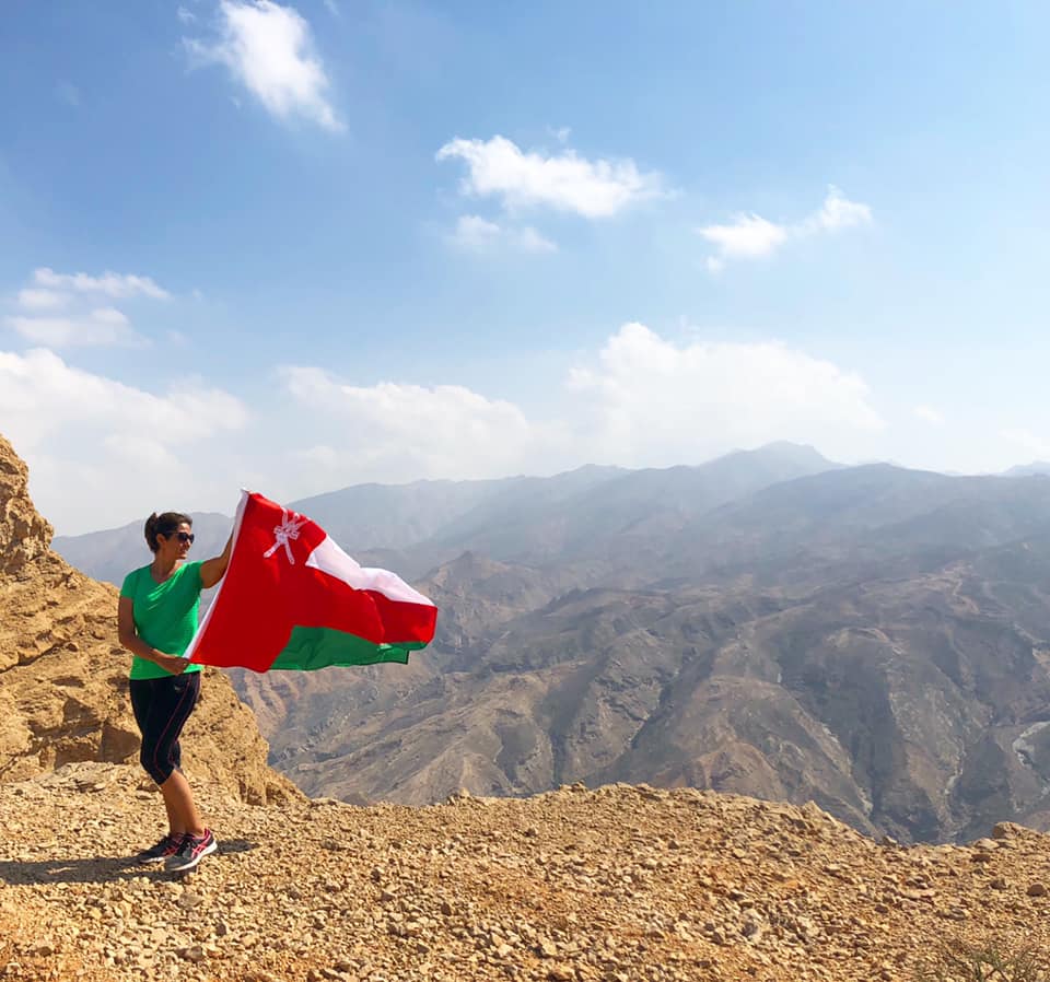
Oman could be a hiker’s paradise and in many ways it is. You can find gentle sloping hills to magnificents mountains all over the country, situated in some of the most beautiful locations. Weekends could easily be spent hiking in a different location. But….. the problem lies with finding these hiking spots! When it comes to hiking in Oman you need something called ‘luck’ and a friend who knows a friend who has been there! No hiking route is easy to find! Most of the hikes I’m going to mention in this blog are not even official hiking routes with any kind of marking or sign posts. They are places that were recommended by others and I was able to access with a normal saloon car.
Bandar Khayran
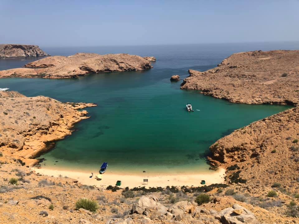
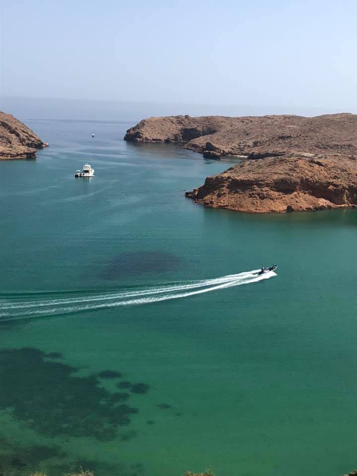
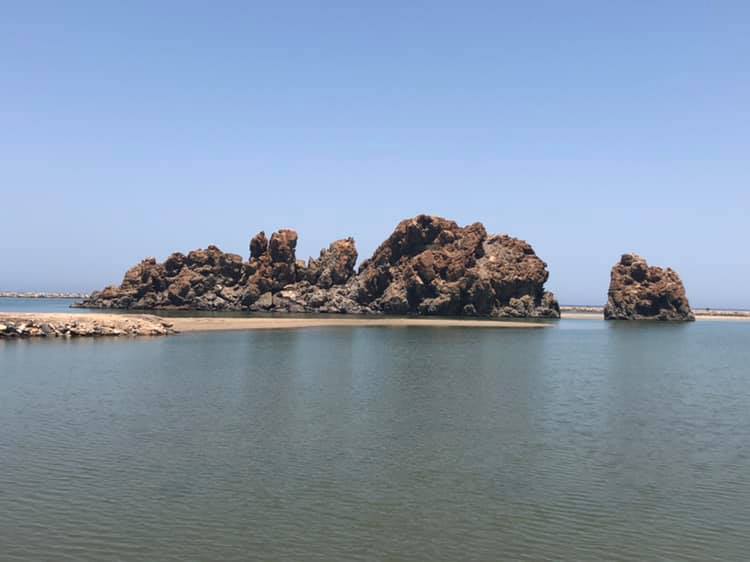
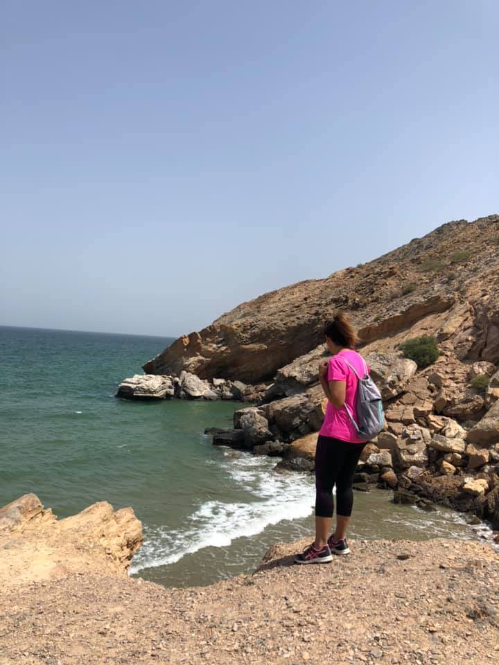
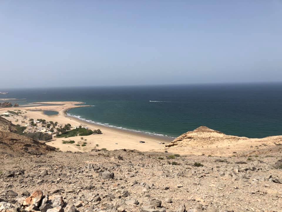
Bandar khayran is mainly used by people for it’s secluded beaches. On the weekends people come here to swim, snorkel, have picnics and camping. The small beaches are surrounded by towering mountains, which makes hiking here so breathtaking. You will get to see some of the most stunning ocean views and can take some amazing photos. Bandar Khayran is signposted and fairly easy to find, about 40 minutes drive out of Muscat, but there is no hiking route.

Once you reach the viewpoint, park your car in the makeshift car park and start to follow a faint path straight ahead. Now you will notice there are many faint paths, which have been created by shoe prints of other hikers or beach goers. Where each path will take you is pure potluck, you might end up at a great view point or at a secluded beach. I’ve done this hike a few times and each time have followed a different path, so it has always felt like a new hike and that is probably why I would recommend it.

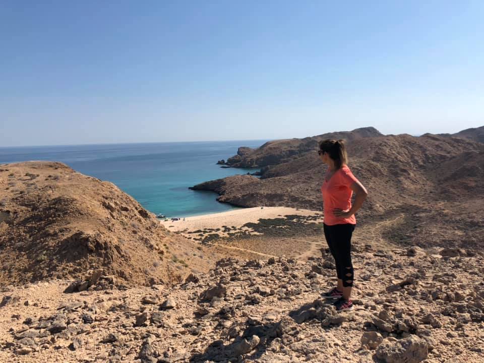
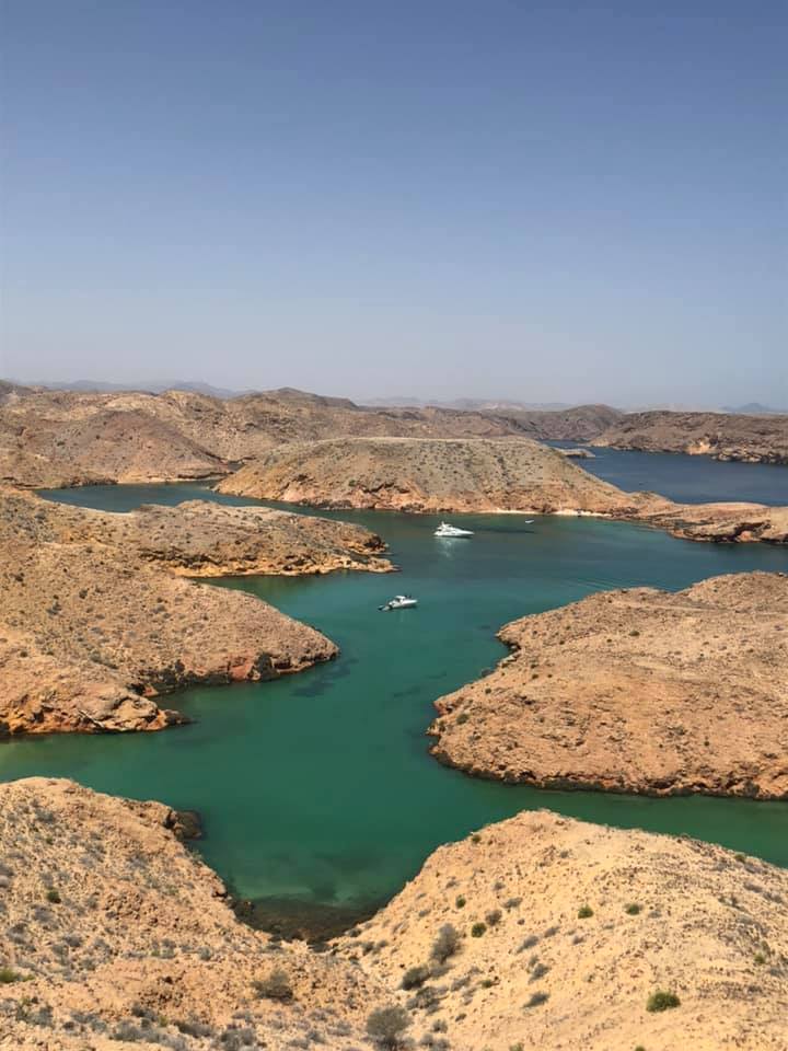
This is not a difficult hike and a fairly fit person should easily be able to complete this. Just watch out for loose stones and goats. Depending on the time of the year take plenty of water with you as you will be in direct sunlight most of the time.
Saal Steps
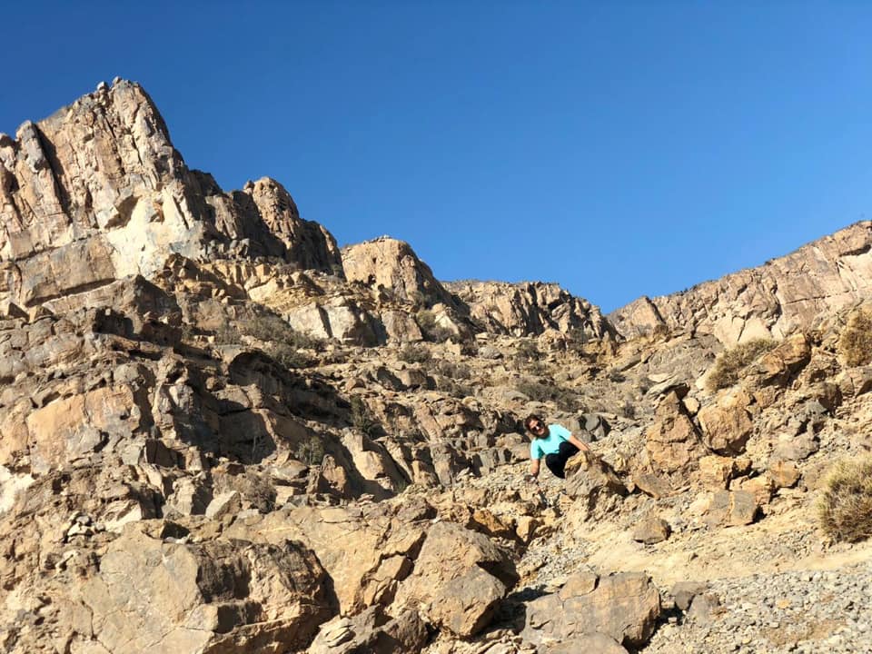
If you are up for a challenge then this is the hike for you! Saal Steps is situated in the Saal village, 35 km out of Muscat. Now I’m going to be honest this is not an easy place to find. I have done this hike 3 times and drove around in circles the first 2 times. Getting to Saal village is easy enough, once you have passed all the houses and reached the end of the road, turn right onto the dirt road and drive 2km straight ahead. On the right hand side midway up a mountain you will see some stairs. Do not expect the steps to start at the bottom of the mountain like I did, look at the satellite at the top, the steps are just below. There is a makeshift car park where the hike starts and if you are lucky there might be a car or 2 already parked, which will help you to locate the start.
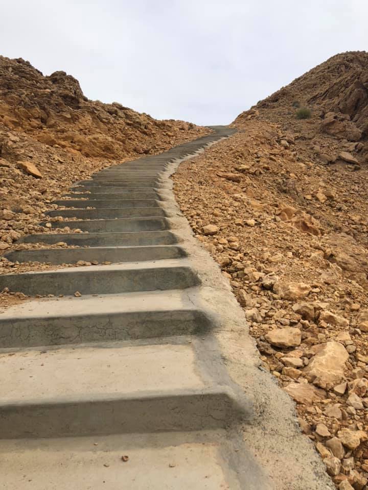
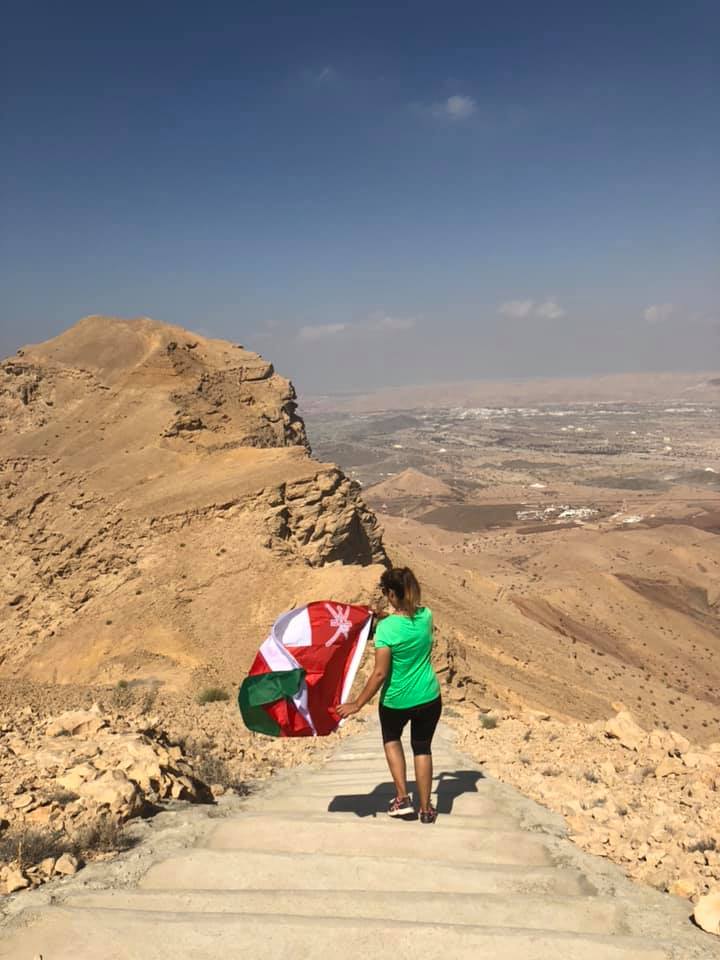

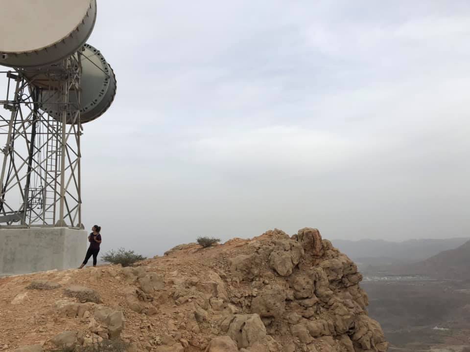
This hike is all up hill, make sure to wear sturdy shoes there are lots of loose rocks. I always found getting to the steps the most challenging, once you get to them, someone has sprayed 626 on the first step, so you can count your way up. This concrete stairway was clearly constructed to help workers make their way up to the satellite. But now they are used as an unofficial hike or workout. It takes just under an hour to reach the top if you hike at an average to slow pace and stop for photos. Once you reach the top, the breathtaking view is well worth the uphill hike.
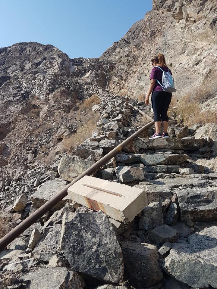
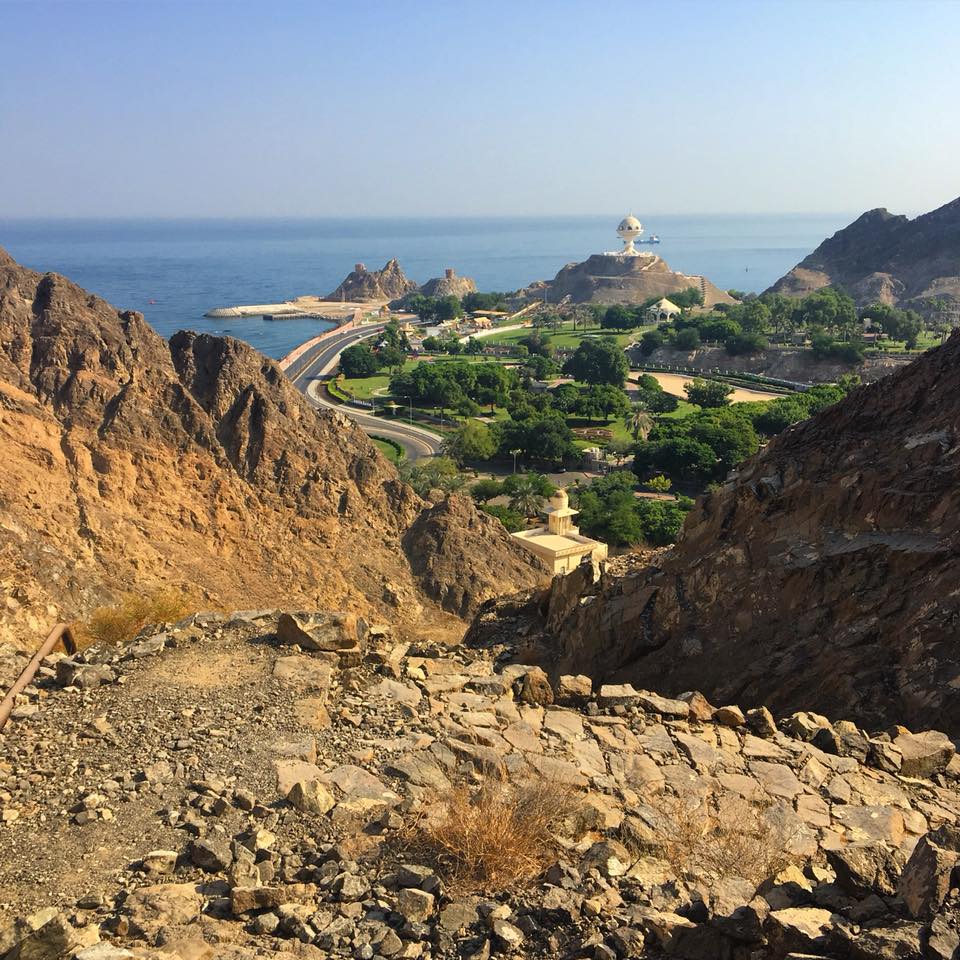
Muttrah (C38) Hike
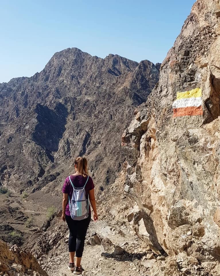
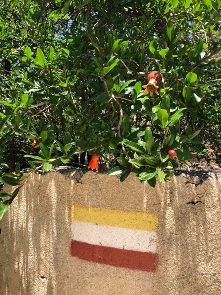
Now this hike is in the heart of Muscat, close to the Mutrah Souq and has national trail markers painted along the way to guide you from the start to the finish. It is fairly easy to find and complete, I would recommend this to anyone visiting the Mutrah area.

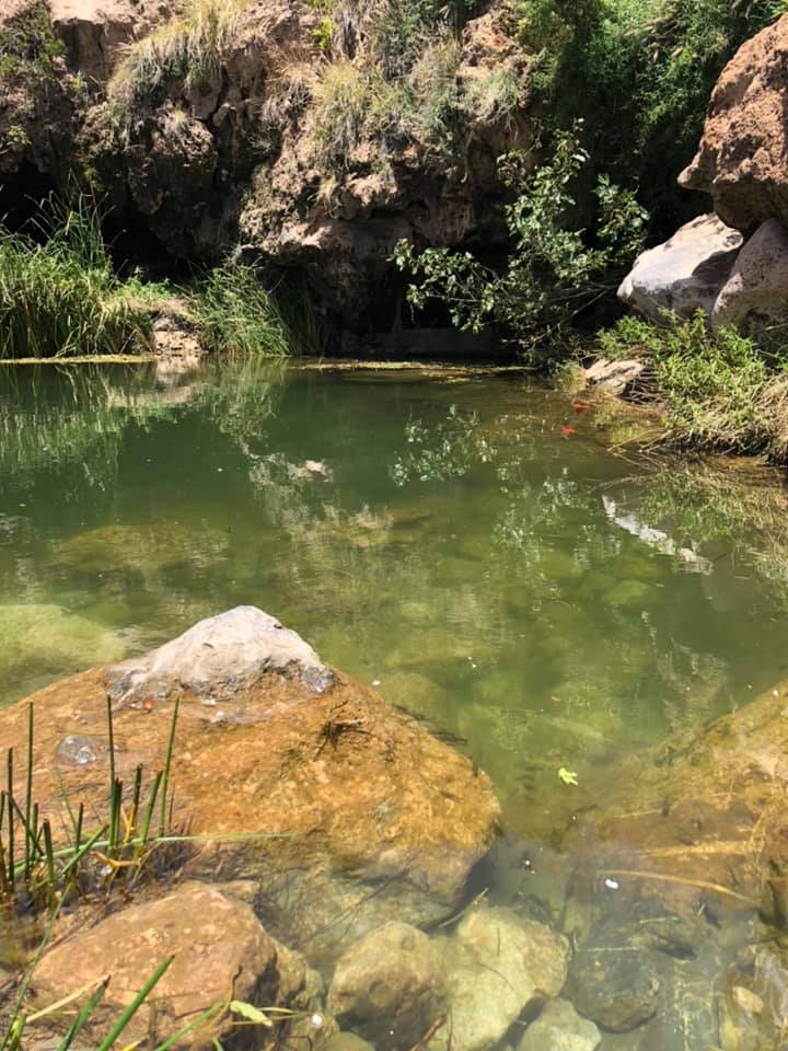
Drive past the souq towards a car park on the right hand side next to a children’s playground. Walk from the car park and turn right towards some houses and you will see a large brown/red sign indicating the start of the hike. The first part of the hike is the most challenging, climb straight up some stone steps and once you reach the top you will be greeted by an amazing view of the sea and port. From here the hike is fairly easy, just keep following the trail markers which take you past many stunning view points and into a shallow wadi, depending on the time of the year, you might find tadpoles and frogs. Once you reach the end there will be a big dam wall, don’t walk towards it but instead hike up your left hand side, which will lead you into a graveyard. From there just walk out towards the corniche and back to the carpark. This is quite a short and easy hike with some stunning viewpoints.
Jebel Sham’s balcony Walk
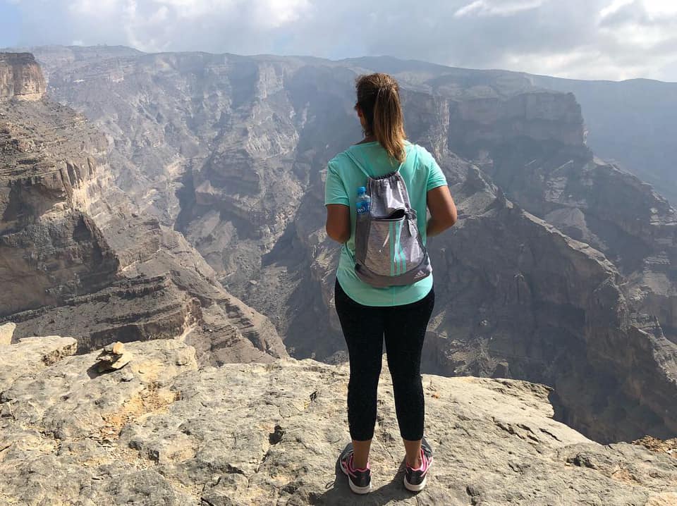
This is one of the most breathtaking hikes in Oman. Jebel Shams is the highest mountain in Oman and known as the Grand Canyon of the Middle East. Located 240 km from Muscat, drive 2 hours towards Bahla and once you arrive there, you will start a 1 hour ascent up Jebel Shams. A 4×4 is required to drive up, people have driven up in saloon cars but personally I would not recommend this as the road is bumpy, gravely, uphill and can be dangerous. There are hotels and camps in Jebel Shams if you want to stay overnight.
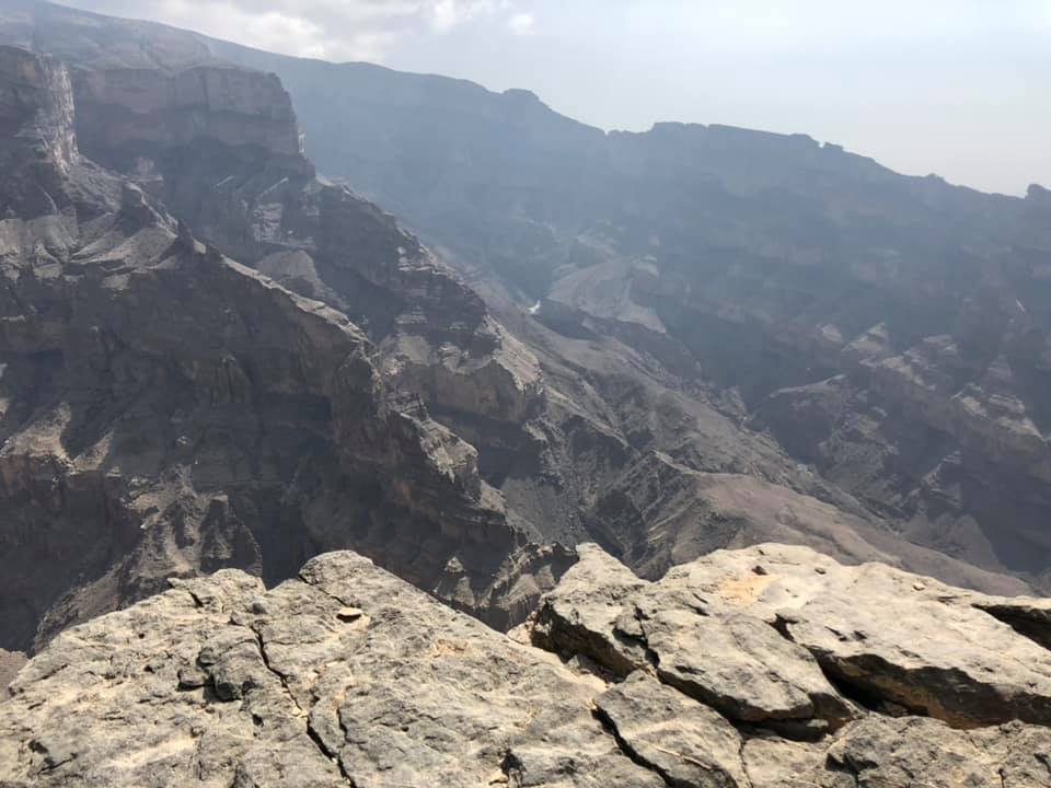
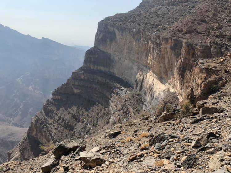
The balcony walk is quite straightforward and just like the name states it does feel like walking across a giant balcony with the most spectacular view. The hike will head towards the ruins of an abandoned village and it is completely up to you how much of the hike you want to complete. If you come to Oman just once in your life, please visit this place, it is one of Oman’s biggest highlights. The added bonus is the temperature in Jebel Shams is always a lot lower than the rest of the country, which makes hiking so much easier in the warmer months.
Yiti Beach Hike
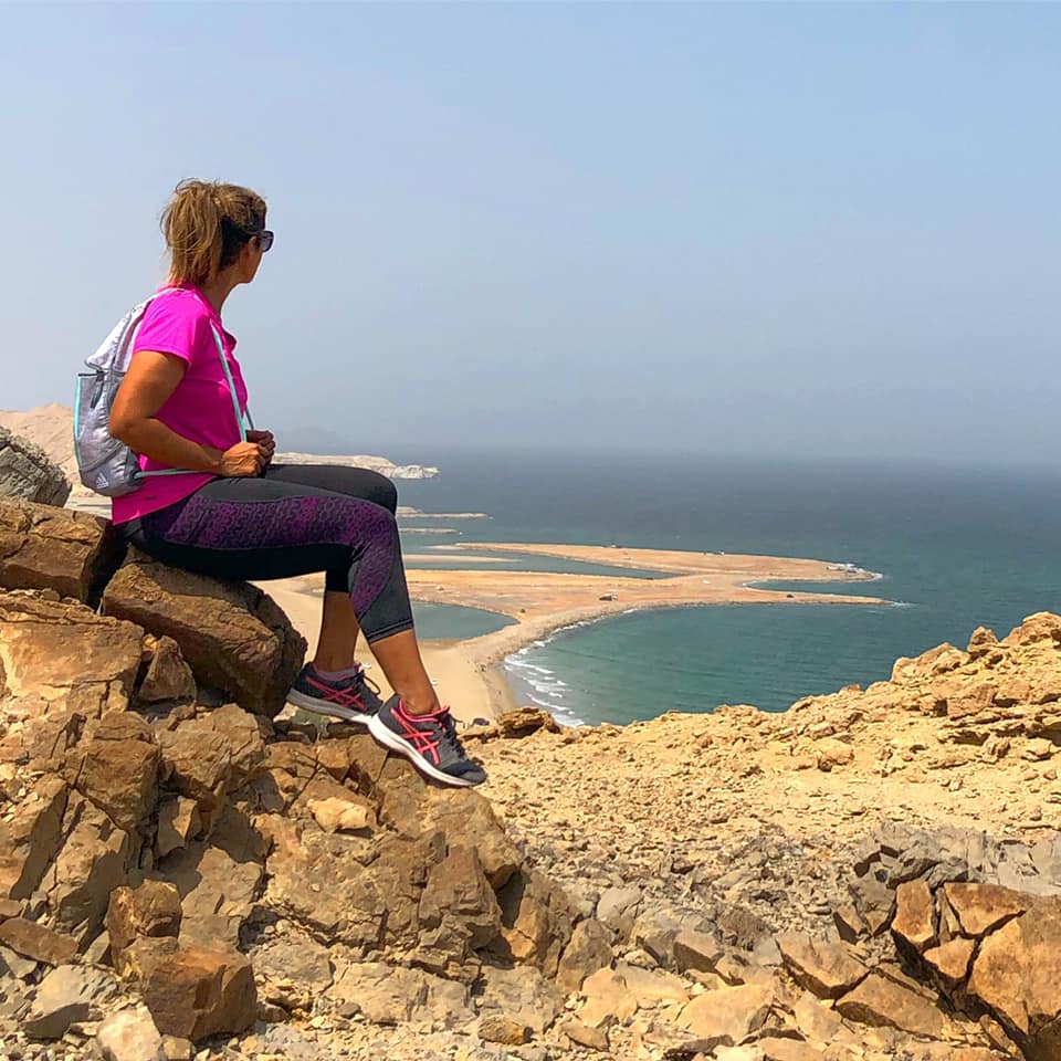
Yiti beach and Bandar Khayran are in close proximity to each other. Yiti has quite a few trails and you can follow whichever one you want or just make one up like I did. Following waze it took me about 35 minutes to get to Yiti beach from Muscat. Once I got there I decided to climb up the steep mountains that were overlooking the beach. Now this is not how most people hike here. Normally you would hike from the back and arrive at the peak of the mountain to the stunning view of the beach. But like I said it’s completely up to you as the beautiful view from the top will still be the same. Once the hike is completed, you can relax on the beautiful beach and have a picnic or go for a swim. Again just be careful of the loose rocks and goats; bring flip flops with you for the beach.
Jebal Akhdar – W18b
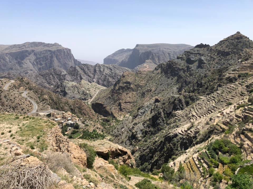
Jebel Akhdar showcases the best of Oman and that’s what makes it a must see place. Jebel Akhdar means the ‘Green Mountain’ and is part of the Hajar range, situated 2000 meters above sea level. A 4×4 is required to reach Jebel Akhdar, there is a police check point before you start the ascent up and a regular saloon car will be declined access.
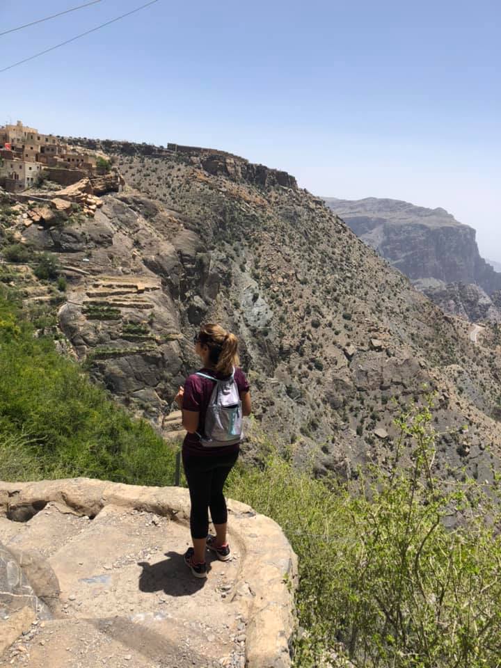
There are a few luxury hotels on the mountain range and quite a few trail marked hiking and trekking routes. We only went for the day and decided to do the W18b hike before having a late lunch at one of the hotels. This is a picturesque terrace hike that will take you through villages, farms and wadis.
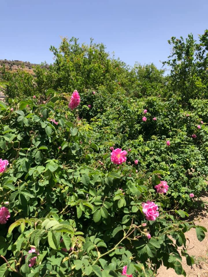
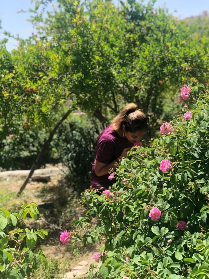
The hike starts quite close to Anantara hotel and ends at a rose water distillation plant, it should take between 7 to 8 hours but it’s completely up to you how much you want to complete and head back, as the hike is only one way and not a loop.
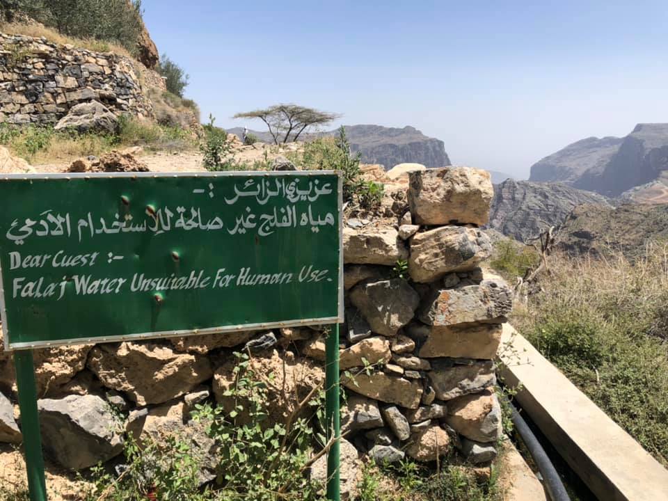
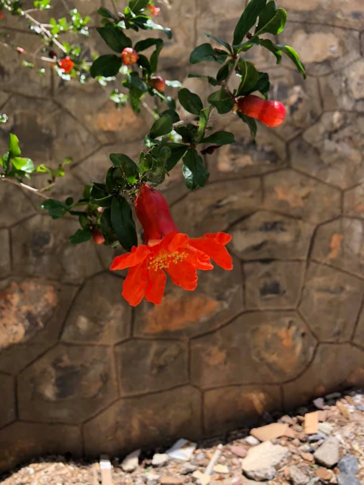
I could not recommend this hike enough, you will walk pass such a variety of crops and vegetation, depending on the time of the year. In April we saw pomegranate, apricot, walnut, olive and fig trees. It was Damask rose season and the whole place was covered in beautiful pink roses, which are used to make rose water. The villages still use the Falaj system to water their crops, this is an original Omani irrigation system, deep-rooted in the country’s land and history.
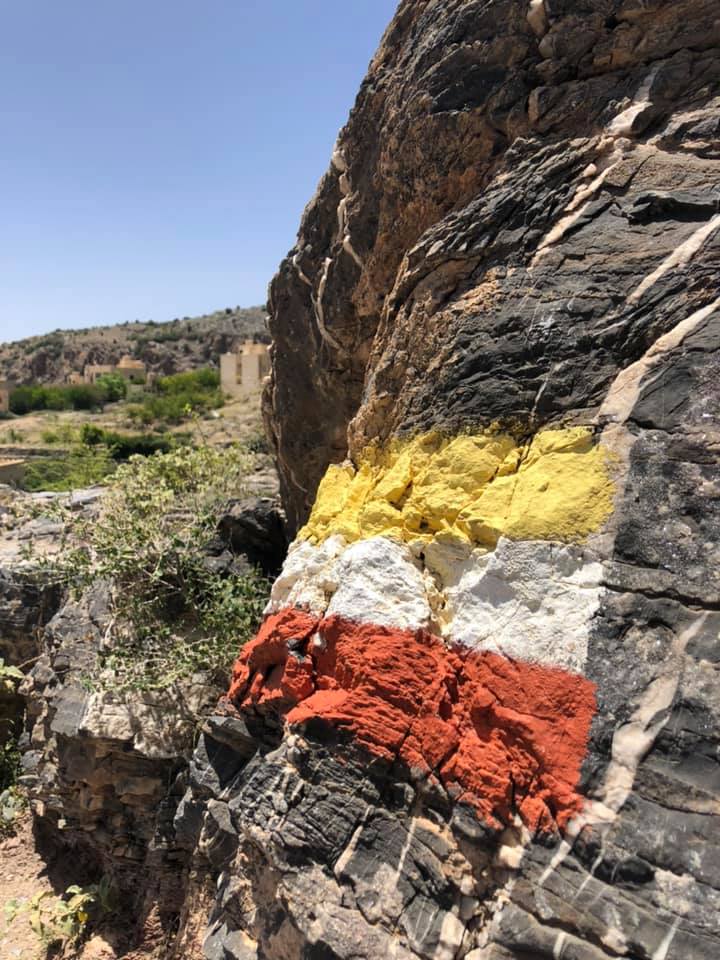
The whole hike is marked with national trail markers, a friend of mine was part of a project that initiated setting up hiking routes in Jebel Akhdar and painting the trail markers. This is one of the reasons this hike is so user friendly.
Things to know before hiking in Oman:
- Oman is a desert and extremely hot for most of the year. Always take plenty of water and sugary drinks with you to prevent dehydration.
- You will be in direct sunlight, so remember to wear sun cream and a hat if needed.
- Wear good sturdy shoes, as there will always be lots of loose rocks on most of the hikes.
- If you are not an experienced hiker always take someone with you and inform others of your exact location. Some of these places can be uninhabited and secluded.
